
Archivo:France map Lambert-93 with regions and departments polygons-blank.svg

Tamaño de esta previsualización PNG del archivo SVG: 632 × 600 píxeles. Otras resoluciones: 253 × 240 píxeles · 506 × 480 píxeles · 809 × 768 píxeles · 1079 × 1024 píxeles · 2158 × 2048 píxeles · 2000 × 1898 píxeles.
Ver la imagen en su resolución original ((Imagen SVG, nominalmente 2000 × 1898 pixels, tamaño de archivo: 1,57 MB))
Resumen
| Posición de la cámara | | Ubicación de esta y otras imágenes en: OpenStreetMap |
|---|
| Descripción |
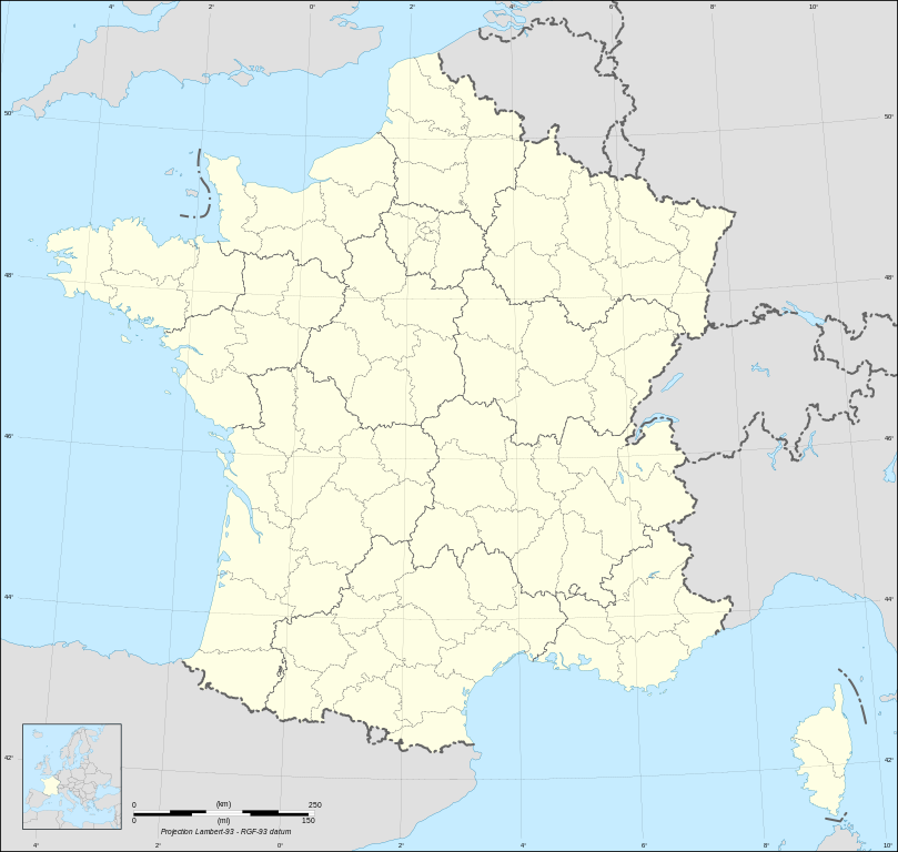
English: Blank map of metropolitan France in the official Lambert-93 projection, with regions and departments as independent polygons. Instructions of use:
Français : Carte vierge de la France métropolitaine suivant la projection officielle Lambert-93, avec régions et départements en tant que polygones indépendants. Instructions d'utilisation :
Lambert-93 projection ; RGF-93 datum |
||
| Fecha | |||
| Fuente |
Own work, derivate from France map Lambert-93 with regions and departments-blank.svg created by myself
|
||
| Autor | Eric Gaba (Sting - fr:Sting) | ||
| Permiso (Reutilización de este archivo) |
|
||
| Otras versiones |
Obras derivadas de ésta:
[]
Same map but with topography and bathymetry:
|
||
| SVG desarrollo | El código fuente de esta imagen SVG es válido. Este mapa fue creado con Inkscape, o con otro programa. |


Licencia
Yo, titular de los derechos de autor de esta obra, la publico en los términos de las siguientes licencias:

|
Se autoriza la copia, distribución y modificación de este documento bajo los términos de la licencia de documentación libre GNU, versión 1.2 o cualquier otra que posteriormente publique la Fundación para el Software Libre; sin secciones invariables, textos de portada, ni textos de contraportada. Se incluye una copia de la dicha licencia en la sección titulada Licencia de Documentación Libre GNU. |
Este archivo se encuentra bajo la licencia Creative Commons Attribution-Share Alike 3.0 Unported, 2.5 Generic, 2.0 Generic y 1.0 Generic
- Eres libre:
- de compartir – de copiar, distribuir y transmitir el trabajo
- de remezclar – de adaptar el trabajo
- Bajo las siguientes condiciones:
- atribución – Debes otorgar el crédito correspondiente, proporcionar un enlace a la licencia e indicar si realizaste algún cambio. Puedes hacerlo de cualquier manera razonable pero no de manera que sugiera que el licenciante te respalda a ti o al uso que hagas del trabajo.
- compartir igual – En caso de mezclar, transformar o modificar este trabajo, deberás distribuir el trabajo resultante bajo la misma licencia o una compatible como el original.
Puedes usar la licencia que prefieras.
Historial del archivo
Haz clic sobre una fecha y hora para ver el archivo tal como apareció en ese momento.
| Fecha y hora | Miniatura | Dimensiones | Usuario | Comentario | |
|---|---|---|---|---|---|
| actual | 11:39 7 may 2024 | | 2000 × 1898 (1,57 MB) | Jack ma | Updated regions limits of 2016 |
| 15:18 19 oct 2017 |  | 2000 × 1898 (1,78 MB) | Sting | No borders over the Lake of Constance | |
| 18:58 3 feb 2009 |  | 2000 × 1898 (1,79 MB) | Sting | == Summary == {{Location|46|15|00|N|02|06|00|E|scale:5000000}} <br/> {{Information |Description={{en|Blank map of France in the official Lambert-93 projection, with regions and departments as independent polygons.<br/> '''''Instructions of |
Usos del archivo
No hay páginas que enlacen a este archivo.
Uso global del archivo
Las wikis siguientes utilizan este archivo: