
Archivo:LocationCentralMiddleAfrica.png
No se dispone de una resolución más alta.
LocationCentralMiddleAfrica.png (360 × 392 píxeles; tamaño de archivo: 11 kB; tipo MIME: image/png)
Resumen
| Descripción |
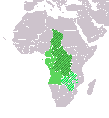
Map: Africa – Central/Middle Africa
|
| Fecha | 4 de febrero de 2006 (fecha original de carga) |
| Fuente | No se ha podido leer automáticamente información sobre la fuente; se asume que es trabajo propio (según los derechos de autor reclamados). |
| Autor | No se ha podido leer automáticamente información sobre el autor; se asume que es E Pluribus Anthony~commonswiki (según los derechos de autor reclamados). |
Licencia
| Yo, el titular de los derechos de autor de esta obra, lo libero al dominio público. Esto aplica en todo el mundo. En algunos países esto puede no ser legalmente factible; si ello ocurriese: Concedo a cualquier persona el derecho de usar este trabajo para cualquier propósito, sin ningún tipo de condición al menos que éstas sean requeridas por la ley. |
Historial del archivo
Haz clic sobre una fecha y hora para ver el archivo tal como apareció en ese momento.
| Fecha y hora | Miniatura | Dimensiones | Usuario | Comentario | |
|---|---|---|---|---|---|
| actual | 18:13 17 mar 2018 | | 360 × 392 (11 kB) | Maphobbyist | Upload |
| 21:01 9 jul 2011 |  | 360 × 392 (14 kB) | Maphobbyist | South Sudan has become independent on July 9, 2011. Sudan and South Sudan are shown with the new international border between them. | |
| 08:35 11 dic 2007 |  | 360 × 392 (14 kB) | Hoshie | added Cabinda and Montenegro | |
| 14:04 30 dic 2006 |  | 360 × 392 (9 kB) | Henrygb~commonswiki | Reverted to earlier revision | |
| 06:01 1 abr 2006 |  | 360 × 392 (14 kB) | Aris Katsaris | cleaner map -- no need to include defunct federation which confuses the map's purpose. | |
| 17:40 4 feb 2006 |  | 360 × 392 (9 kB) | E Pluribus Anthony~commonswiki | Map: Central/Middle Africa (location) |
Usos del archivo
La siguiente página usa este archivo:
Uso global del archivo
Las wikis siguientes utilizan este archivo:
- Uso en ace.wikipedia.org
- Uso en af.wikipedia.org
- Uso en als.wikipedia.org
- Uso en am.wikipedia.org
- Uso en ar.wikipedia.org
- ليبيا
- جيبوتي
- موريتانيا
- تونس
- السودان
- الصحراء الغربية
- أنغولا
- أوغندا
- إسبانيا
- تشاد
- النيجر
- مالي
- السنغال
- غامبيا
- غينيا بيساو
- غينيا
- سيراليون
- ليبيريا
- غانا
- توغو
- بنين
- بوركينا فاسو
- الصومال
- كينيا
- تنزانيا
- الغابون
- زامبيا
- موزمبيق
- زيمبابوي
- البرتغال
- الكاميرون
- جمهورية الكونغو الديمقراطية
- بوتسوانا
- جنوب إفريقيا
- جمهورية إفريقيا الوسطى
- جمهورية الكونغو
- سيشل
- ناميبيا
- مدغشقر
- ليسوتو
- موريشيوس
- نهر النيل
Ver más uso global de este archivo.